

What Happens When a Race Intelligence System Gains Live Location Intelligence?
Exploring how precise location data could strengthen [LoC], our experiment in building a distributed network of human race intelligence.

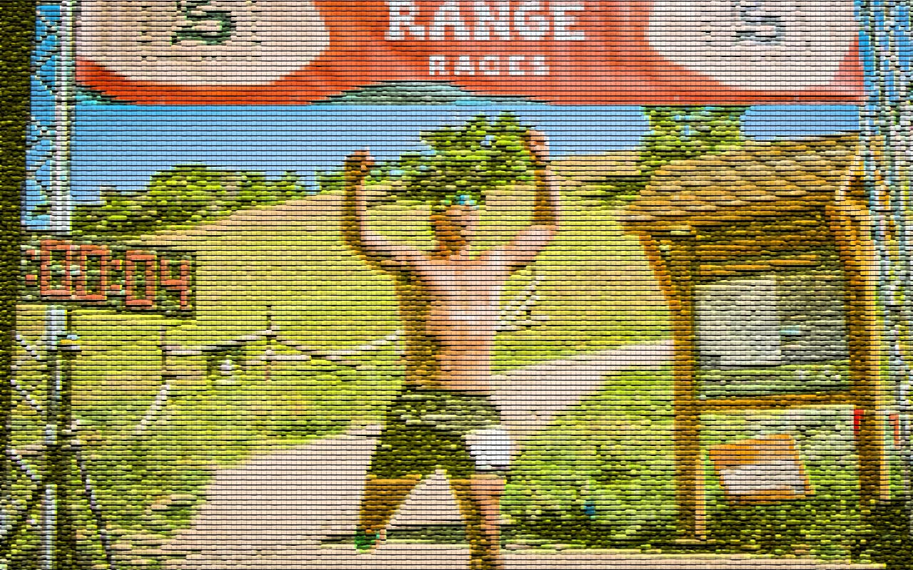
Jonathan’s recent article on Laurel got me thinking about race intelligence. I've been using Laurel at a race I direct in Salt Lake City and have been impressed by both the team and the technology they're building.
Jonathan’s recent article on Laurel got me thinking.
What if Laurel and [LoC] were combined?
Laurel knows where athletes are. LoC knows what people are seeing.
Race coverage relies heavily on cameras to find, explain, and show the story but cameras only see a small fraction of the race.
Meanwhile, spectators, crew, volunteers, and media are constantly observing things the broadcast never captures.
An athlete looks unusually relaxed. A stop is shorter than expected. Someone suddenly looks uncomfortable.
Most of those observations disappear. LoC was built around the idea that they don’t have to.
Now imagine combining those observations with precise location intelligence.
Not a giant race map. More like a simple Mario Kart-like race strip showing where the leaders are relative to each other and how those positions are changing.
Suddenly, observations have more context.
Fans get a better sense of what’s happening between aid stations.
Commentators get signals they otherwise wouldn’t have.
The cameras no longer have to carry the entire story themselves.
Maybe it’s a terrible idea.
Maybe the signal-to-noise ratio falls apart.
But I keep coming back to the same question:
If thousands of people already understand small pieces of the race, what happens when you connect them together?
Jonathan's article addresses a far more important use case than anything discussed here. This is simply an attempt to explore whether some of the same ideas could improve how we understand build [LoC] live trail races.
love this!